Webmapping, Webtracking

Monitoring your Project straight from Maps...
Onshore & Offshore Projects, Manufacturing Plants, Logistics Concepts... all look very clear on a map
From the Concept to the Commissioning ... Your Project plan and progress can be shown on a map: Pipeline, Production & Logistics Facilities, Field elements (montains,
rivers...), main Infrastructures (roads, rails, inland waterways, ports... )
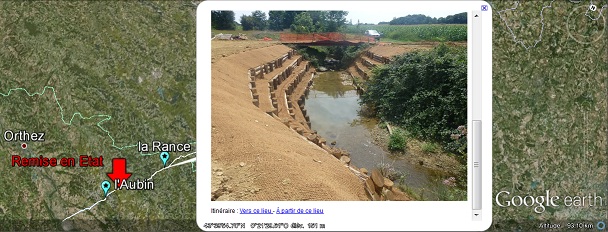
From the Map to your Gallery and Document Base ... Your Project Map is a very intuitive browser towards your document base (Picture Gallery, Videos, 3D animations, any Web
resources, PTS, Project extranet...)
Our Strengths
Equipment ... With Google earth pro, we have the latest software to build a smooth webmapping of your Project. We also have the possibility to focus on a specific yard, to check all dimensions, surfaces, relief, neighborhoud... etc. We also have the possibility to make and register a video of a virtual visit of any place in the world.Open solution ... With our technical solutions, we promote open and/or free softwares, and will avoid expensive solutions, for temporary Projects, with a limited life cycle, and restricted means. Further "high tech" developments, with GPS tracking, or connexion to your PTS will be managed on demand.
 Innovation ... With our network of key partners, we keep a look at technical and software innovations, and will constantly suggest the best
options for the tracking of your Project & Pipes (latest tablets or smartphones, GPS, RFID tags, NFC, XXXXX, Webcams... )
Sub Menu


